
Sitework & Mapping
Aerial precision + action site intelligence
Our mapping services use advanced drone technology to capture accurate aerial data that supports planning, analysis, and decision-making. By combining high-resolution imagery with precise geospatial data collection, we help clients gain a clear understanding of site conditions, boundaries, and project progress.
Whether supporting construction, land development, agricultural planning, or site documentation, our aerial mapping solutions provide reliable visual and spatial insight that improves efficiency and project accuracy.
-
high-resolution aerial mapping
-
accurate site measurements
-
project progress documentation
-
topographic and boundary visibility
-
improved planning and coordination
-
faster data collection than traditional methods
SERVICES
-
3D Mapping
-
Topographic Surveys
-
Volume Calculations
-
Progress Monitoring
USE CASES
-
Construction Sites
-
Infrastructure Projects
-
Land Development
-
Utility Expansion
DELIVERABLES
-
CAD Files
-
Orthomosaics
-
Progress Reports
-
Measurement Data
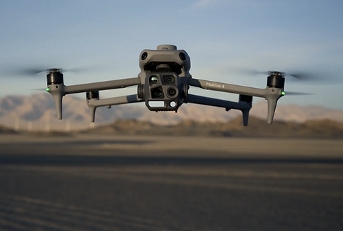
Equipment
-
DJI mavic 3 multispectral


